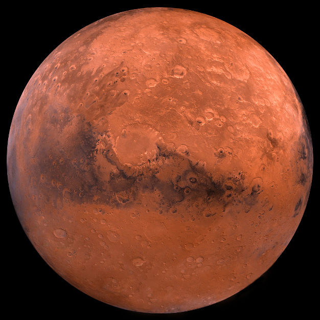
Intended as a potential aid for future space travelers, NASA has released a water map of Mars. Based on remote sensing data from the space agency’s Mars Reconnaissance Orbiter (MRO) and Mars Odyssey orbiter, the new map shows areas in the higher Martian latitudes where water ice may lurk within an inch (2.5 cm) of the surface.
Currently, the single most valuable resource for manned deep space missions is water. The most obvious reason is that it’s literally vital for keeping astronauts alive by providing drinking water and oxygen, but it’s also important because water can be converted into rocket fuel.
Unfortunately, though water is essential for any but the simplest of robotic missions to the Red Planet, it turns out that Mars is drier than any place on Earth. This means that finding water there is more like mineral prospecting than dowsing.
On the plus side, water ice is a very strong heat conductor under Martian conditions, which can be measured by the Mars Climate Sounder on the MRO and the Thermal Emission Imaging System (THEMIS) camera and Gamma-Ray Spectrometer on Mars Odyssey, whose readings were cross-referenced with other instruments and evidence. Using this data, NASA scientists mapped out the most likely regions where a future outpost could be set up to mine water from the very shallow permafrost.
