Researchers are using machine learning to analyze satellite radar data to detect icebergs in the Southern Ocean around Antarctica as a way to better understand their life cycle and environmental impact.
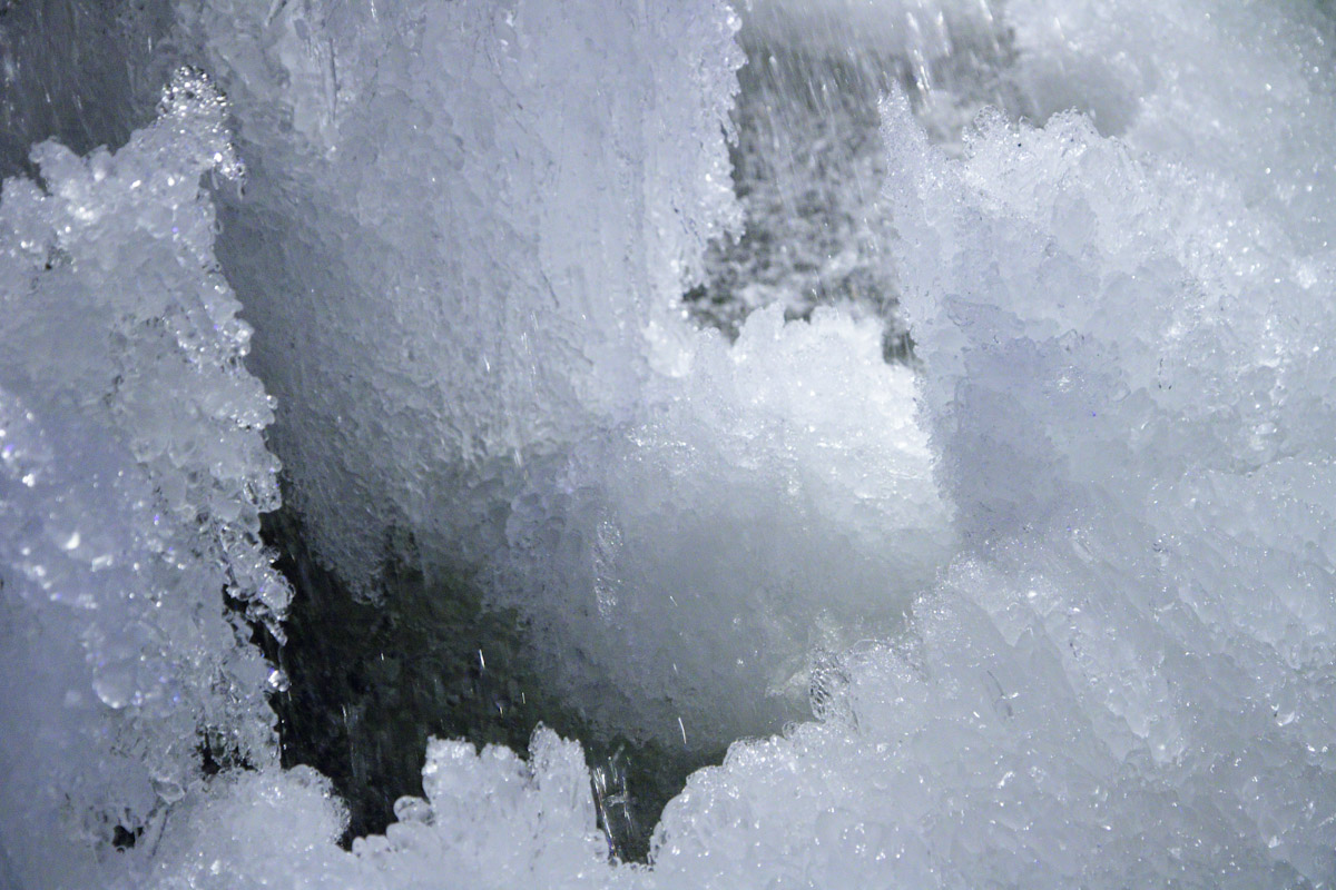
Icebergs may seem like something exotic and far away as anyone who’s seen Titanic can tell you, they can dramatically impact us when we least expect it. Many thousands of smaller bergs are constantly calving away from the Antarctic ice shelf and floating out to sea.
To help with this, a team of scientists funded by the Alan Turing Institute have been using Synthetic Aperture Radar from ESA’s Sentinel-1 satellites, which can scan icebergs night and day in any weather.
The radar data isn’t new, but what is is using an unsupervised AI algorithm to analyze readings gathered from October 2019 to September 2020, which identified almost 30,000 bergs measuring about 1 km² or less in the Amundsen Sea Embayment in West Antarctica at the calving front of Thwaites Glacier.
The hope is that by accurately detecting and tracking icebergs, it will be possible to develop a digital twin of the Antarctic sea that will lead to a better understanding of the complex physics of how the ocean, ice, and atmosphere interact with one another.
“The technology we used to develop this tool is already used quite commonly for medical imaging and so we are excited to apply the same technology to the complex features seen in SAR satellite images of the polar oceans,” said Ben Evans of the British Antarctic Survey AI Lab.